- Capabilities
- Getting started
- Architecture center
- Platform updates
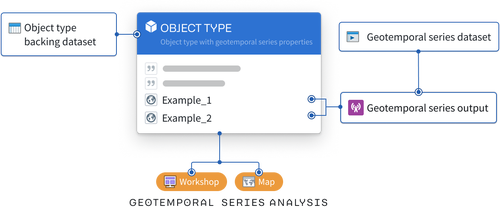
Geospatial and geotemporal data in Foundry
Geospatial and geotemporal data are often key inputs for Foundry users seeking to connect analytics with operations. Foundry streamlines the transformation and analysis process for both data types to enable map-based workflows. The following documentation provides best practices and guidance for using both geospatial and geotemporal data in Foundry.
Learn more about types of geospatial and geotemporal data, common workflows, and how to use geospatial data in the Ontology.