- Capabilities
- Getting started
- Architecture center
- Platform updates
Geospatial time series use case
Geospatial time series properties on objects enable you to track the location of entities over time. Review the geospatial documentation to decide if a geotemporal series or time series set up is right for your use case.
This documentation walks you through the steps to prepare time series data in Pipeline Builder, configure objects in Ontology Manager, and visualize entity tracks on a map using an example Ship object type. The Ship object type has two backing datasets containing information about each individual ship, such as its Ship Id, and location updates over time expressed as latitude and longitude values with timestamps.
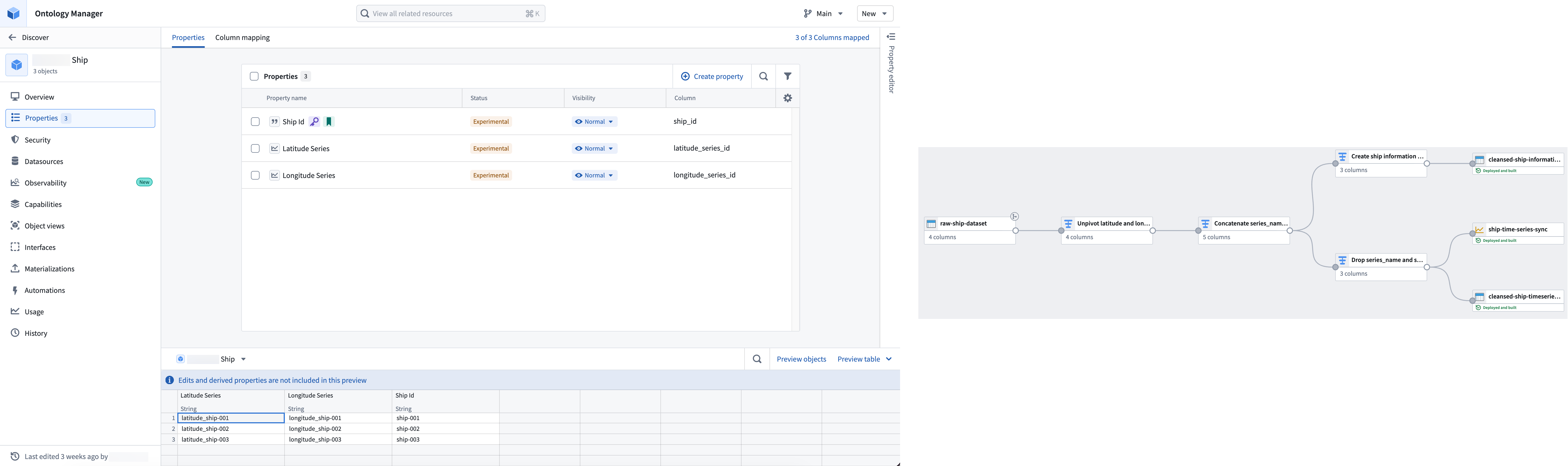
The following guides will lead you through the steps to create objects with geospatial time series data and visualize them on a map: